Madagascar is famous for its exceptional biodiversity, with many of its plants and animals found nowhere else. However, it is also one of the world’s lowest-income nations and this has put the island’s biodiversity under increasing strain, especially through deforestation driven by the demand for resources, such as charcoal.
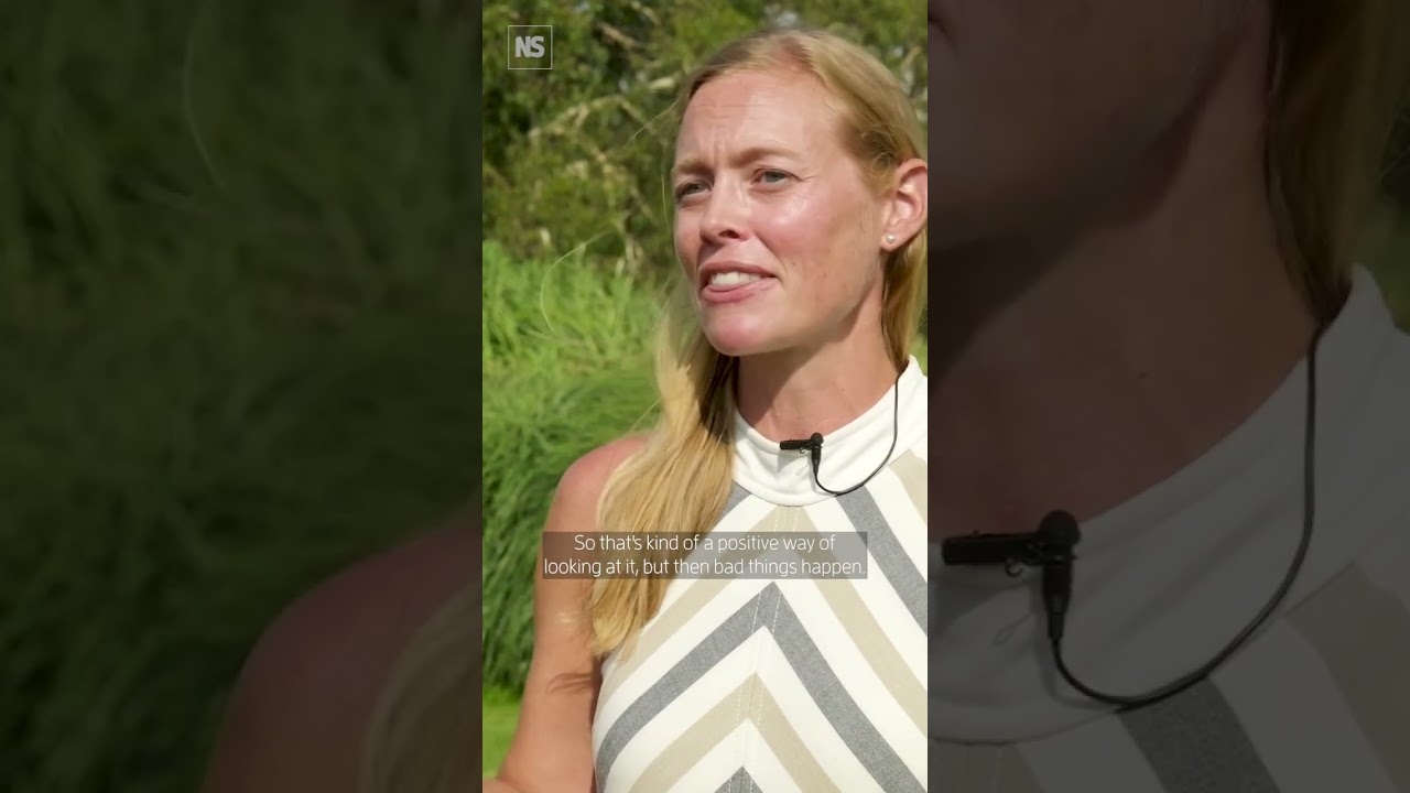
Jenny Williams, a senior spatial analyst @kewgardens has been flying small drones over Madagascar to map such activity, studying how and where protected areas are being cleared. While the resulting data and 3D models can help estimate the carbon stored by the forest, they have also led to the creation of an effective system to alert authorities to illegal forest activity.
Learn more ➤ https://youtu.be/UopS55FhlHo?si=wmlkU8mUSJia8qJ_
Subscribe ➤ https://bit.ly/NSYTSUBS
Get more from New Scientist:
Official website: https://bit.ly/NSYTHP
Facebook: https://bit.ly/NSYTFB
Twitter: https://bit.ly/NSYTTW
Instagram: https://bit.ly/NSYTINSTA
LinkedIn: https://bit.ly/NSYTLIN
About New Scientist:
New Scientist was founded in 1956 for “all those interested in scientific discovery and its social consequences”. Today our website, videos, newsletters, app, podcast and print magazine cover the world’s most important, exciting and entertaining science news as well as asking the big-picture questions about life, the universe, and what it means to be human.
New Scientist
https://www.newscientist.com/